CLARITY BEFORE YOU BUY
Clear, Honest Guidance for Sydney Property Buyers
Buying property in Sydney shouldn’t require an insider to make sense of it. We break down the buying process, the numbers, and the suburb-level detail that actually matters — so you can make your next move with confidence.

WHY HARNESS PROPERTY
Property Guidance Built on
Sydney Market Knowledge

Local Market Knowledge
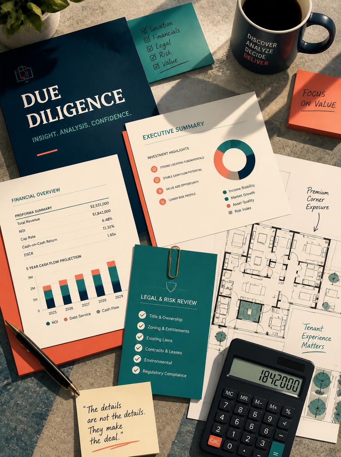
Every guide is grounded in real Sydney suburb data — infrastructure, price cycles, and zoning — not generic national advice.

Practical, Step-by-Step Guides
From auction prep to loan structuring, our guides walk you through exactly what to check and when — no jargon, no fluff.

Property and Finance, Together
Buying strategy and finance structuring are covered side by side, because the two decisions are never really separate.

ABOUT US
Expert Guidance for Confident Property Decisions
Harness Property is written by a small, focused editorial team combining hands-on buyers-agent experience with finance expertise. We’re not a buyers agency ourselves — we’re here to help you understand the Sydney market well enough to work confidently with one, or navigate the process solo if that’s your path.
Written by genuine property and finance practitioners
Sydney-specific — real suburbs, real data, real scheme detail
Independent guidance, with partner recommendations clearly disclosed
OUR TEAM
Meet Our Professional Team
Members

Jackson Gordon
Lead Buyers Agent Analyst
Writes on buying strategy, negotiation, auctions, and suburb research

Priya Deshpande
Finance Contributor
Covers borrowing power, loan structuring, and the finance side of buying.
Recent Guides
Unlock Expert Insights and
Practical Advice


GOT QUESTIONS?
Answers to What Sydney Buyers Ask Us Most
From auctions to borrowing power, these are the questions we hear most from Sydney buyers. Can’t find yours here? Get in touch and we’ll point you to the right guide.